


New redistricting maps are constitutional and can be used for the 2022 elections, a three-judge panel in Wake County ruled Tuesday. The case will be appealed to the North Carolina Supreme Court.
The ruling comes in two cases challenging the new electoral maps, redrawn every ten years based on new population numbers from the U.S. Census Bureau.
"Under our State Constitution, redistricting of Senate and House Districts is left to the General Assembly," the judges said in the 258-page ruling. "In that redistricting is left to legislative bodies, bodies which are inherently political in nature, the United State Supreme Court has indicated that a State may engage in 'constitutional political gerrymandering.'”
The cases argued the redistricting maps are unconstitutionally gerrymandered, taking away voting power from Black voters and Democratic-leaning voters.
The judges disagreed. The ruling says the plaintiffs have not proven that the maps intentionally discriminate against Black voters.
"In North Carolina, our Supreme Court has had an opportunity on a number of occasions to address whether the creation of boundaries is a question that presents a justiciable controversy," the judges write in the opinion. They found that the questions over partisan gerrymandering are up to politicians, not the courts.
The lawsuits were filed late last year by Common Cause North Carolina and the North Carolina League of Conservation Voters. After the ruling, both said they would appeal to the state Supreme Court.
"At trial, we proved beyond a doubt that all three maps are unconstitutional partisan gerrymanders that entrench Republican majorities even if Democrats win the statewide vote by 7 points," NCLCV Executive Director Carrie Clark said in a statement after the ruling.
"We will immediately appeal to the state Supreme Court so every North Carolinian will finally have the equal freedom to choose their representatives in free elections," she said.
Republican Sen. Warren Daniel, who co-chairs the Senate Redistricting Committee, said, “Now that a bipartisan court unanimously validated the maps, the people of our state should be able to move on with the 2022 electoral process."
“But the sue-‘til-blue organizations and their lawyers will probably appeal to the conflict-riddled state Supreme Court because its 4–3 Democratic majority was won with the help of a six-figure donation from the very organization funding this case," Daniel said in a statement Tuesday afternoon.
The North Carolina Supreme Court ordered a halt to candidate filing in December so courts could hear arguments in the two cases. The justices also delayed North Carolina's primary elections from March to May so the cases could proceed and to give enough time if the maps need to be redrawn.
All 14 Congressional seats in North Carolina and every member of the General Assembly is up for re-election this year. The lawsuits accuse the GOP of redrawing the maps to secure an unfair number of seats in Congress and potentially secure a super-majority in the legislature.
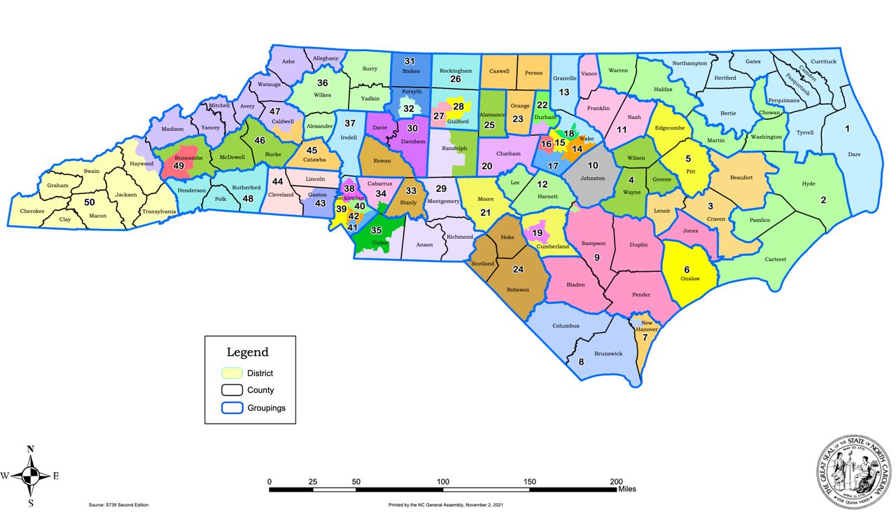
The Princeton Gerrymandering Project, a nonpartisan group that analyzes redistricting maps, gave all three maps, for Congress and the state House and Senate, an "F" grade. The group said the maps gave Republicans a significant advantage in the 2022 elections.
Right now, Republicans hold eight of North Carolina’s congressional seats and Democrats have five.
Population increases in North Carolina over the past decade mean the state is getting a 14th seat in the U.S. House. But according to analysis of the new maps, Republicans will likely win at least 10 of those seats and Democrats four.
North Carolina is a purple state and more or less evenly split between Republican and Democratic voters in statewide elections.
The Republican-controlled legislature touted what they called “the most transparent” redistricting process ever used in North Carolina as they redrew the maps over the fall. Normally done with consultants behind closed doors, the maps this year were drawn in an open committee room and live-streamed online.
Republican leaders on the redistricting committees said they would not use racial data or information from past elections to draw the new maps.
They also said they would only consider maps drawn in the open committee room.
But, in a deposition in December and during the trial, Rep. Destin Hall admitted to looking at “concept maps” drawn separately by a staff member. He told the court that those maps have since been lost or destroyed.
Mathmeticians and political scientists testified during the trial, arguing that the maps were weighted heavily toward Republicans.
During the trial, Duke University mathematician Jonathan Mattingly said his team used computer models to make 100,000 maps for both the state House and Senate. Those simulations showed that the actual maps had a systematic bias for Republicans.
Some of the experts called to testify pointed to urban areas that were broken up in redistricting, including in the Triad, Wake County and Mecklenburg County. Some of the heavily Democratic areas were broken up and grouped in with more Republican-leaning suburban and rural areas, which could dilute the votes of Democrats and minorities.